
Winona Neighbors Block Sources
A Winona block-level search uses public sources that each answer a limited question. The Winona County map shows parcel shapes and nearby polygons. Winona Beacon and the Winona tax record can identify the owner and tax-mailing address attached to a parcel. Winona LandShark supplies the recorded document trail. Winona City records can be requested for permits and inspections at a specific address. Historical Winona directories and newspapers may show an earlier household. None of those sources creates a complete current list of the people near an address, and a Winona owner record is not proof that the owner is present at the property.
| Source | What it shows about a block | Access |
|---|---|---|
| Winona County GIS and LandShark Map | Winona subject parcel, adjacent parcel shapes, district layers, and map context | Public Winona viewer; informational map, not boundary authority |
| Winona Beacon and tax route | Winona owner, situs, tax-mailing address, parcel ID, and assessment context | Public self-service route; live card fields can vary |
| Winona Recorder and LandShark | Winona grantor, grantee, legal description, document date, and deed chain | Online coverage varies; office computers cover some unavailable recordings |
| Winona City permit or inspection file | Winona address-keyed permit, applicant, owner, contractor, and inspection context | Request route; no public permit-history search was located |
| Winona library and WCHS holdings | Earlier Winona directory, newspaper, map, obituary, or organization context | Research request, on-site use, or appointment depending on collection |
For immediate Winona neighbors, keep the Winona search centered on the parcels that touch or sit directly around the subject parcel. Winona map adjacency is a geographic relationship. It does not establish a social relationship, current occupancy, or a right to collect details about other household members. That narrower approach also keeps a Winona block search separate from a full named-street record trail.
Winona GIS Block Parcels
Winona County GIS and the LandShark map provide the useful first view. Search or pan to the Winona address, turn on the parcel layer, and click the subject polygon. The Winona map can show zoning, flood, district, survey, ward, precinct, and related geography. Then pan to and click the surrounding Winona parcel polygons. The research found adjacent-polygon navigation, but did not verify a radius or buffer tool. The parcel ID and legal description are the important handoff fields because they remain stronger identifiers than a map label alone.
- Locate the exact address in Winona County GIS or the Winona LandShark map and select its parcel.
- Record the Winona situs address, parcel ID, and legal description shown through the Winona parcel route.
- Click the immediately adjacent Winona polygons and record each parcel ID without assuming an occupant.
- Open the parcel in Winona Beacon, then use its legal description or owner name in Winona LandShark when a recorded document is needed.
- Confirm the document at the Winona Recorder or through an official copy method before relying on it.
Winona County GIS data is public-domain spatial information, but the Winona County disclaimer rejects accuracy, warranties, navigation use, and legal-boundary use. A map is not a legal survey. When the goal expands from one block to the full chain along a named street, the Winona street directory has the address-by-address record method rather than repeating it here.
Winona Neighbor Property Trail
Winona Beacon is intended to search by owner name, property or situs address, and parcel number. The Winona County tax instructions format a parcel ID as xx.xxx.xxxx and say to enter numbers only. The expected Winona parcel information includes owner name, mailing address, situs, parcel ID, legal description, class or value, tax details, exemptions, sale information, and building detail, but the live result-card layout was not fully captured in research. Treat the display as a starting point and inspect the current viewer for the exact fields and redactions.
Winona LandShark is the stronger source for a recorded ownership history. Search the current Winona owner as grantee or search the legal description as a tract, open the purchase deed, and capture the grantor, grantee, recording date, document number, book or page, and legal description. To move backward, search the Winona seller as grantee in an earlier period. A seller can have owned several parcels, so parcel continuity and the legal description matter. Winona abstract data begins in 1987, grantor/grantee material reaches 1938-1984, and image access follows separate document-number, volume/page, and Torrens coverage.
Winona Permit Records
Winona City records attach certain facts to an address even when they do not name a present household. Winona’s permit and inspection materials cover categories such as building, concrete, deck, demolition, electrical, fire, garage, mechanical, moving, plumbing, pool, roofing, windows, siding, and solar. The Winona City public information describes permit records as possible sources for the address, permit, owner, and contractor. No public online Winona permit-history search was located. A focused Winona request should give the exact street address, date range, and the particular permit, inspection, or code record sought.
The Winona permits and fees page is the official application and fee route.
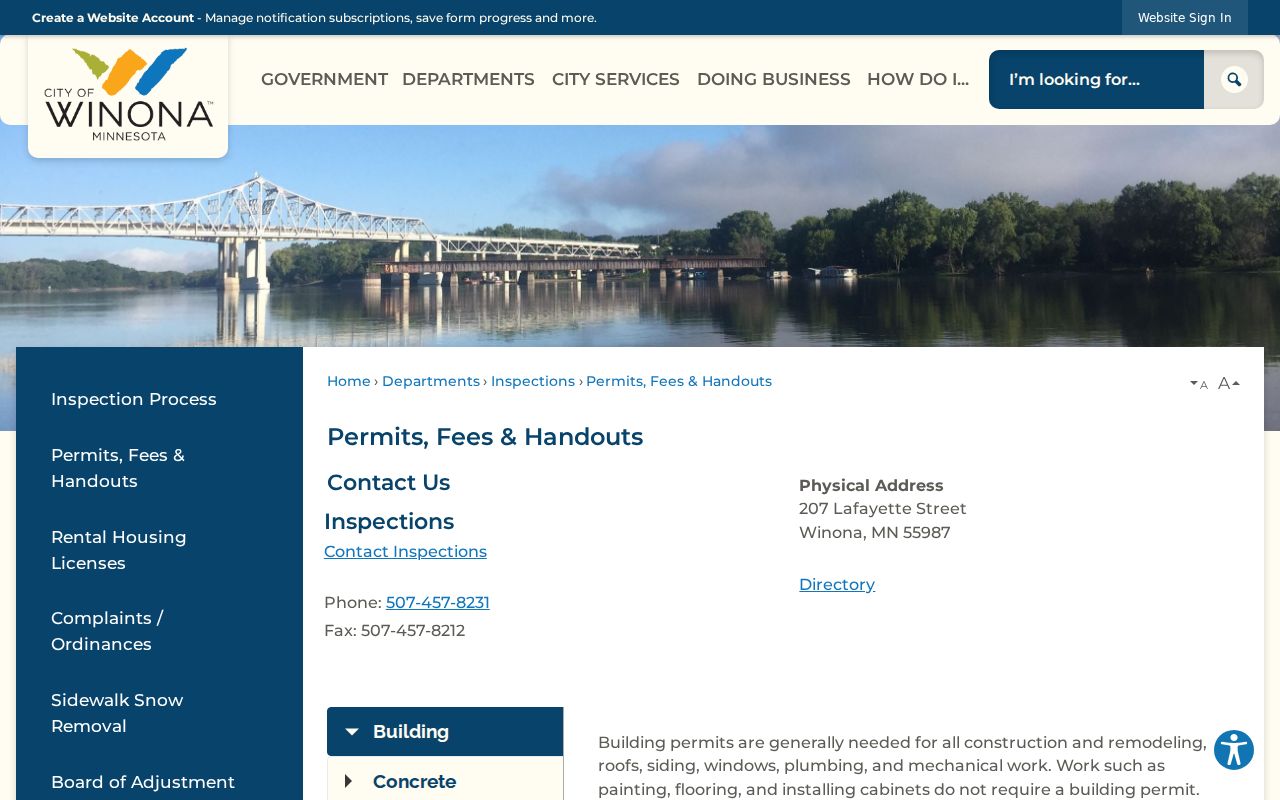
The Winona permit material supports an address-keyed request, not an inference about every person at that address. Publicness can depend on the record type and classification under Minnesota law.
The Winona Inspections page identifies the city department that handles inspection-related records.
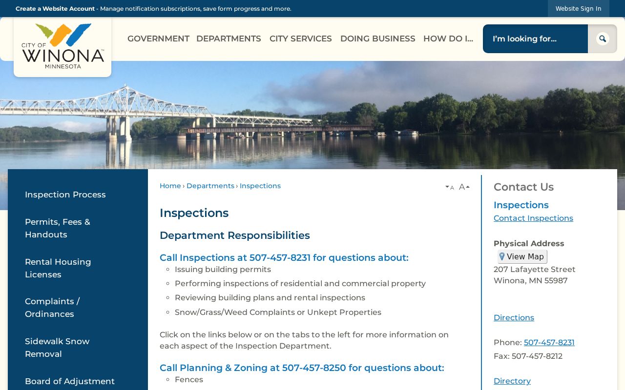
When asking for files for more than one nearby parcel, list each Winona address separately. That gives the Winona City Clerk or the responsible department a concrete search target and reduces the risk of mixing unrelated records.
Winona Voter Boundaries
MNVotes is designed to confirm one Winona person’s registration when full first and last names, all date-of-birth components, and detailed current-address fields are supplied. In ZIP mode, the form continues through city or township, house number, street, and, when needed, unit. It updates nightly and directs an invalid Winona address combination to the Winona County election office. It is not a Winona address browser and does not publish a street-wide roster. A Winona parcel map cannot be used to turn that individual-confirmation form into a block list.
Minn. Stat. §201.091 distinguishes the master voter list from the public information list. A Winona walking list can be requested in street-sorted form, but the request requires registered-voter certification and an election, political, or law-enforcement permitted purpose. Winona public voter data cannot be republished as an Internet-searchable database, and it may not be sold, loaned, or given outside those permitted uses. Ballot choices and presidential-primary party choice are not public-list fields.
Winona Historic Block Context
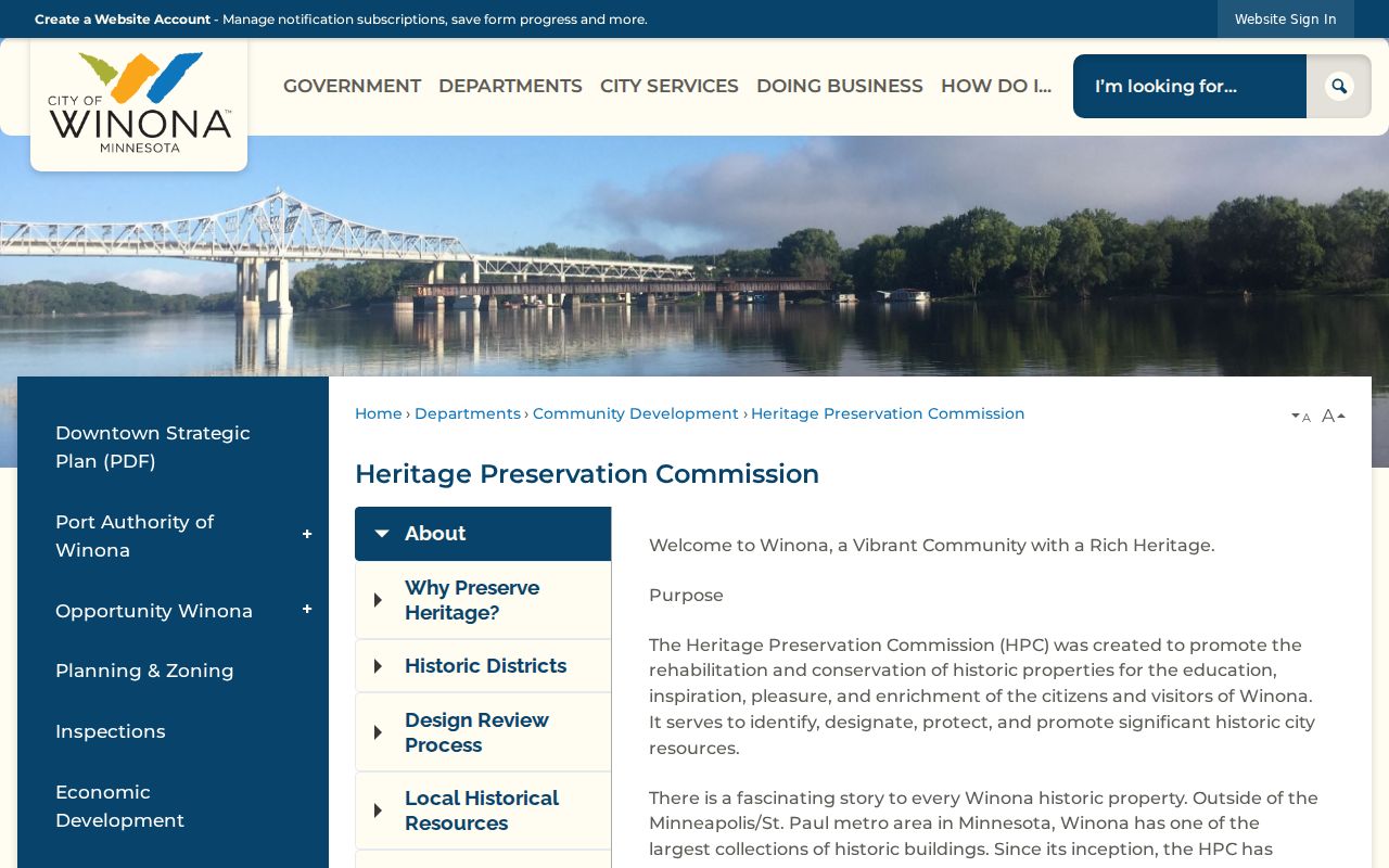
A Winona historic district supplies context for a parcel, not a member list for a neighborhood. The Winona Heritage Preservation Commission identifies the East Second Street Historic District, Third Street Commercial Historic District, and Windom Park Residential Historic District. It also provides a Winona Windom Park story-map route. These Winona designations can explain why a block has a particular building pattern or why an address appears in historic maps, city minutes, or preservation records. They do not prove who was at an address during a given year.
The Winona Heritage Preservation Commission is the source for the city’s historic-district context.
For an older parcel, pair the district setting with the original record: a Sanborn map, plat, city directory, newspaper, permit file, or deed. Winona’s older place-name variants, including Wenonah, Weenona, Wynona, Island City, Wabasha’s Prairie, and Wing Prairie, can also affect a historical newspaper or directory search.
Winona Community Record Channels
No official Winona citywide association/member directory or public current congregation/block-watch roster was located. That result matters. It means a Winona block search should not fill the gap by treating a private membership list or an unverified web mention as a public roster. Winona City GIS layers and historic-district materials describe places. They do not supply current member information. For historical Winona neighborhood or organization questions, the better route is a targeted archive or library request that asks whether a relevant record is held and public.
| Research channel | Appropriate use | Access condition |
|---|---|---|
| Winona County Historical Society | Ask about historic organization correspondence, minutes, membership material, newspapers, maps, photographs, and directory holdings. | Archives research is appointment-based; ask about holdings before paying the archivist rate. |
| Winona Public Library | Request historical directories, yearbooks, newspaper microfilm, obituary indexes, and local-history material. | Use its research-request process or on-site collections; collection gaps apply. |
| Winona Heritage Preservation Commission | Confirm Winona historic-district and Windom Park context for a block. | Official Winona place context only, not a current neighborhood roster. |
Winona WCHS holdings can include business and organization papers where they survive and are public. Winona WPL local collections include directories, yearbooks, microfilm, obituaries, and maps. Neither finding supports a claim that a present association, congregation, or watch group publishes its members. A Winona request should name the block, organization if known, approximate years, and the type of historical record sought.
Winona Neighbor Tools Compared
Official records and commercial neighbor tools have different value. The official route preserves the source, date, custodian, and limits of a particular record. A commercial tool may combine public records, marketing data, and older address associations. It can be useful only as a prompt to verify elsewhere, not as a conclusion about a person or household. The comparison is especially important around a small block, where the same surname, a mailing address, or an old record can look more certain than it is.
| Question | Official public record | Commercial neighbor tool |
|---|---|---|
| Where did a claim originate? | Shows a named custodian and record type, such as a deed, parcel card, or permit file. | May combine sources without the original document or full context. |
| What does a name mean? | Can limit the claim to owner, grantor, grantee, applicant, or party role. | Can merge same-name people or retain older associations. |
| How is an error handled? | Request correction or clarification from the office holding the record. | Use the provider’s privacy or correction process, then verify the original source. |
Winona Land Notification
Winona County’s Land Notification service is a practical record-alert tool for a property owner who wants notice of new land-record activity. The county describes it as free and allows up to five email addresses and two mobile numbers per alert. It is a way to watch recorded activity tied to a property interest, not a tool for watching other people. A notice should be followed by a check with the Recorder, using official county contact details rather than a telephone number or link printed in an unexpected letter.
The Winona County Land Notification service is shown below.
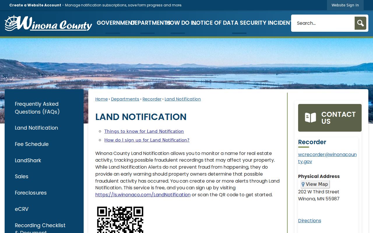
The service addresses a local scam risk. The FBI has warned that criminals can use parcel-owner information from public sources, data brokers, phishing, stolen data, or the dark web to impersonate owners. Verify a deed or mortgage notice directly with the Recorder before responding.
Winona Neighbors Privacy
Parcel ownership is not a household roster. Non-owner occupants, children, guests, utility customers, delivery recipients, and many personal contact details should not be inferred from a parcel map, deed, permit, or tax record. Safe at Home participants use substitute addresses and can receive voter-record protections. Minnesota law also protects DMV address data, limits court and vital-record access, and restricts voter-list use. Do not try to reverse-engineer a protected address from a substitute address or from surrounding parcels.
Lawful use. Use block records for personal, lawful property context and civic research. Minn. Stat. §609.749 prohibits stalking and harassment conduct, including monitoring, intimidation, or misuse of identifying information.
A public record does not authorize surveillance, impersonation, repeated unwanted contact, or publication of sensitive details. If a map, permit, or other record is wrong, keep the document number or request date and ask the custodian for correction or explanatory information. The safer result is a precise record question, a limited answer, and respect for the boundaries the source sets.